How To Enable Critical UAV Operations in a GPS-contested World?

The landscape of Electronic Warfare has changed, find out about the challenges and the solutions of protecting navigation capabilities. A lecture by infiniDome’s CEO, Omer Sharar, in the Unmanned Aerial Vehicle conference in Jerusalm, July 1. To The Full Lecture
מפרוץ המלחמה: כ-6000 רחפנים התרסקו עקב שיבושי GPS
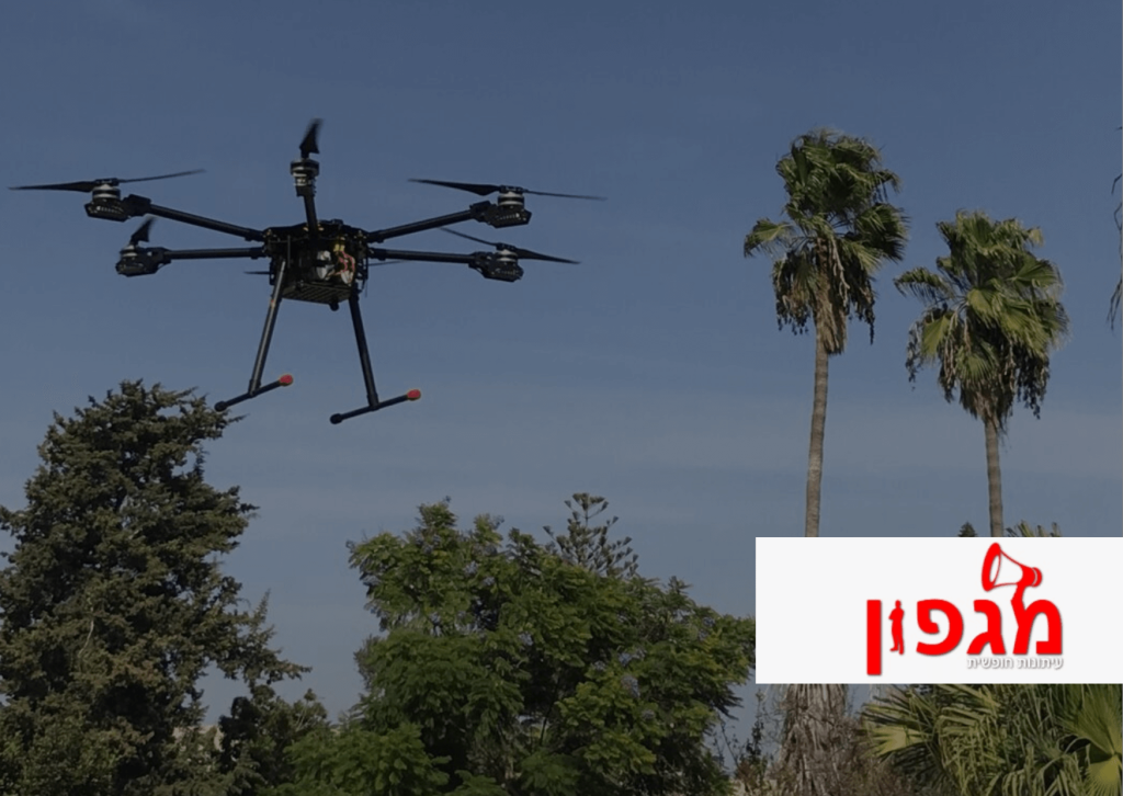
הפתרון הטכנולוגי לבעיית שיבושי ה-GPS עליו מדברת אטיאס, הוא של חברת אינפינידום (infiniDome) מקיסריה. החברה פיתחה יחד עם חברת הענק האמריקנית, האניוול – משקיעה ושותפה באינפינידום – מערכת הגנה רב שכבתית על כטב”מים ורחפנים, מפני שיבושי GPS. למעבר לכתבה המלאה
הסוף לשיבושי ה-GPS: הישג טכנולוגי ישראלי בצפון

במסגרת ניסוי שנערך ליד בית החולים זיו שבצפת, הודגם פתרון טכנולוגי המאפשר לרחפנים להמשיך לטוס כמתוכנן גם תחת מעטה כבד של שיבושי GPS • השיבושים, שכבר הפכו לשגרה, הם מטרד גדול עבור תושבי הצפון במיוחד, אך נחוצים בעתות מלחמה. רחפנים וכטב”מים מסתמכים על אותות GPS לווייניים כדי לדעת את מיקומם ולנוע מנקודה לנקודה. ואולם, בשל […]
Meet infiniDome New Anti-Jamming Solution – Israel Defense

The GPSdome2 offers GNSS protection of two bands (L1/E1+L2 or L1 + G1 or L1/E1 + L5) from up to three directions of jamming simultaneously all in a small box InfiniDome, an Israeli company specializing in advanced GNSS technologies and anti-jamming solutions, is presenting its newest anti-jamming solution, the GPSdome2. According to InfiniDome, the GPSdome2 […]
Defensive NAVWAR – Article By Defense Update

infiniDome, an Israeli GPS protection specialist company, has introduced GPSDome, which uses two antennae to perform passive ‘null steering’ by attenuating the reception from the direction of the most powerful signal (the jammer). The company developed a proprietary filter to isolate this signal and implemented it into an integrated circuit.The latest generation, GPSDome2, is a […]
Interview By SafetyDetectives With Omer Sharar – Co-Founder & CEO of infiniDome

In a recent SafetyDetectives interview, Omer Sharar, co-founder and CEO of infiniDome, sheds light on the journey behind his company and the motivation that fueled its inception. With a background in Math and Computer Science, coupled with over a decade of experience as a SW Systems Engineer, Sharar unveils the critical role GPS technology plays […]
2024: Year of the Drone and UAV Tech Growth
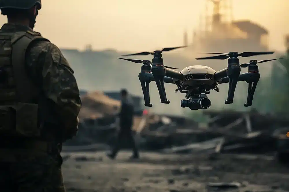
As we step into 2024, the landscape of unmanned aerial vehicles (UAVs), drones, and autonomous systems is experiencing unprecedented growth. This growth transcends the confines of traditional applications, heralding a new era, wherein the synergy between technological innovation and navigation precision is reshaping both military strategies, and civilian enterprises. Military Innovations: Advancing Beyond the Horizon […]
Case Study: Aerial Photography Amid GNSS Disruption

Background: The Oct. 7th conflict between Israel and Hamas poses significant challenges for manned aircraft operations throughout Israel. The disruptions and blockades not only jeopardize flight safety but also ground flights even in non-combat areas, leading to substantial revenue losses for aviation businesses. An Israeli company specializing in aerial photography using Cessna aircrafts, contact infiniDome […]
Case Study: Protecting Dual GNSS Receivers
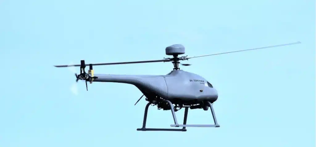
Background: The Black-Eagle 50 E RUAV was designed for an advanced missions requiring high location precision. Since the beginning of 2023, Israeli airspace has been full of red and blue GNSS interference. These disruptions have only increased during the current conflict between Israel and Hamas. Heading data is vital for flight safety and successful completion […]
Case Study: HIGH-END LOW-COST GNSS Protection for OWM Drones
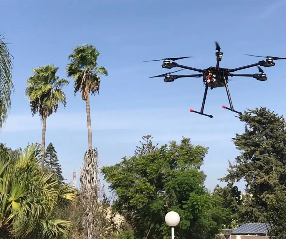
Background: Reliable navigation during GNSS disruptions is of paramount importance in an era where the use of unmanned aerial vehicles,specifically Loitering Munitions designed for one-way missions, continues to grow. infiniDome’s innovative GNSS protection system has been seamlessly integrated into printed aerospace drones. The Size, Weight, Power and Cost (SWaP-C) of GPSdome was vital for this […]


